
Ward 24, Barrhaven East
Ward boundaries are periodically reviewed to ensure residents in every community are effectively represented at City Hall. Barrhaven East was created for the 2022 municipal election out of that consideration.
With few opportunities for new major developments, our ward is locally unique, as practically all growth pressures will come from outside the ward, mostly from Barrhaven West↗ (Half Moon Bay, Quinn’s Pointe), Riverside South↗, and Rideau-Jock↗ (Manotick) wards.
The rest of the 2020s will be exciting for Barrhaven, with 13,000 new neighbours expected to join our community, an opportunity to design and build a town centre from the ground up, and several benefits that come from stabilising neighbourhoods after decades of non-stop growth.
Generally speaking, Barrhaven East is bounded by Fallowfield, the Rideau and Jock rivers, and Greenbank, minus the Riocan plaza and parts of the Greenbelt.

Barrhaven East is home to just under 55,000 residents and includes the following neighbourhoods:

Chapman Mills

Davidson Heights

Havenlea

Hearts Desire

Knollsbrook
a.k.a. “Northwest Triangle”

Longfields

Rideau Glen

Winding Way
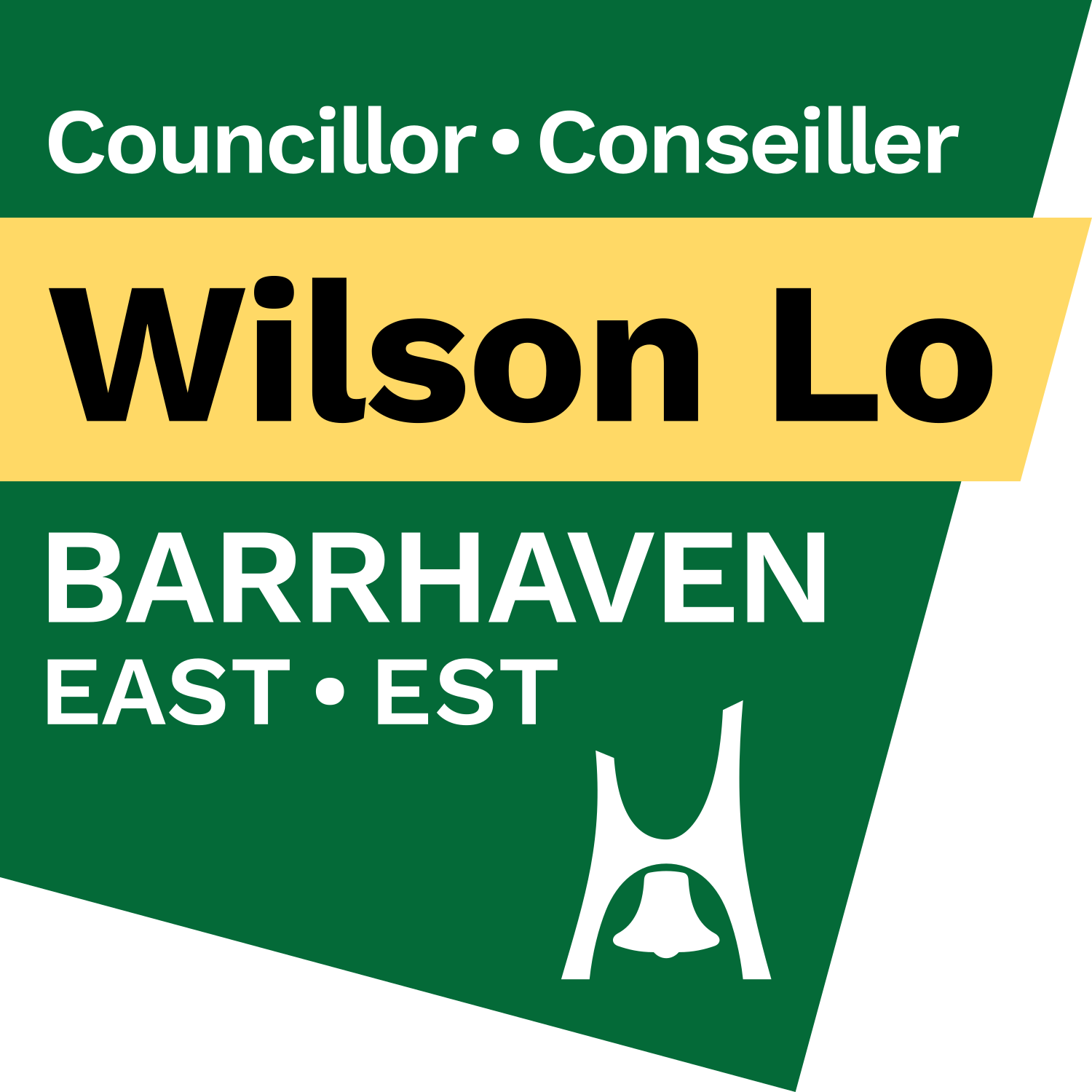
The ward logo consists of an irregular quadrilateral forming a stylised geographic outline of Barrhaven East. The name of the ward defaces the shape while Councillor Wilson Lo’s name is set on a yellow band defacing the shape.
A simplified version of the Nepean bell is at the bottom corner of the logo, representing the administrative time period when most of the community was built. The former city of Nepean is also represented in the shade of green used in the logo and many published ward materials.